
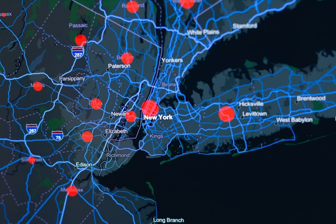

You probably don't think about maps. But geospatial intelligence valuable across every major industry is quietly reshaping how companies and governments make decisions, and the numbers prove it.
The global geospatial solutions market is expected to be valued at US$ 1,008.5 billion in 2026. That's not a rounding error. That's a trillion-dollar wake-up call.
Here's what's happening: location data used to be a nice-to-have. A tool for surveyors and mapmakers, something in the IT budget that nobody really understood. Now? It's become the backbone of everything from precision agriculture to supply chain optimization to climate resilience. And if your industry isn't thinking about it yet, you're already behind.
Geospatial Intelligence Valuable Across ??? the Numbers Don't Lie
Let me start with raw market dynamics, because the data is impossible to ignore.
The geospatial analytics market size is projected to expand from USD 93.52 billion in 2025 and USD 108.03 billion in 2026 to USD 196.59 billion by 2031, registering a CAGR of 12.72% between 2026 to 2031. This isn't growth. This is acceleration.
What's driving it? Strong demand for real-time location intelligence, falling satellite launch costs, and rapid 5G rollouts are reshaping how enterprises ingest, process, and act on spatial data. Translation: the friction is gone. Getting useful location data is cheaper and faster than ever before.
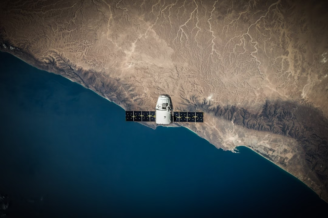
The regional picture matters too. Asia-Pacific leads with an expected 13.76% CAGR, outpacing all other regions. Why? Because nations like India and China treat geospatial infrastructure as strategic. China's BeiDou global coverage and India's open-data mandate under the National Geospatial Policy are reshaping entire continents' relationship with location data. It's not just tech — it's policy now.
Geospatial Intelligence Valuable Across Defense, Logistics, and Beyond
The old story was that geospatial intelligence was a defense-and-spying thing. Satellites, surveillance, classified. That narrative is dead.
The GIS/geospatial analytics segment is driven by the rising adoption of advanced spatial data analysis across industries such as urban planning, logistics, defense, and environmental monitoring. Notice the "and" — defense is just one of many now.
Transportation and logistics operators are the hungriest for this stuff. Transportation and logistics operators are on track for a 14.36% CAGR, making them the most dynamic adopters. This makes sense. A supply chain that doesn't know where its assets are in real time is a supply chain hemorrhaging money.
But here's where it gets interesting: The global geospatial solutions market has emerged as a critical enabler of digital transformation, integrating technologies such as geographic information systems (GIS), remote sensing, LiDAR, GPS, and 3D visualization into unified platforms for mapping, analysis, and decision-making. The market is projected to grow at a healthy pace, driven by rapid urbanization, infrastructure development, defense modernization, and the increasing adoption of location intelligence across industries.
Let me give you concrete examples of what this looks like in practice:
- Retail site selection: Retailers use geospatial data to evaluate potential store locations, measuring foot traffic patterns, competitor proximity, and demographic overlays — saving millions in bad real estate decisions.
- Insurance risk: Insurance companies use it to assess flood and climate risk — which in 2026, with climate volatility spiking, is non-negotiable.
- Urban planning: Cities are using location-based intelligence to manage transportation networks, utilities, public safety, infrastructure, and urban development.
The breadth is what matters. This isn't niche. It's everywhere now.
How AI is Changing the Geospatial Game
Here's a confession: I spent a weekend in 2024 watching geospatial analysts manually clean satellite imagery datasets. It was, honestly, painful. They'd spend hours formatting data just to get to the part where they could actually think about it.
That's ending. AI handles routine processing so human judgment can focus on decisions. And the numbers back this up: In a 2026 survey of geospatial practitioners by an Eastern Michigan University research team, 87.5% named data cleaning and formatting as their single most time-consuming workflow stage.
The integration of geospatial analytics with artificial intelligence (AI) and big data technologies is significantly contributing to the growth of the geospatial analytics industry. By combining spatial data with machine learning algorithms, organizations can gain deeper insights and make more accurate predictions across various industries.
But here's the catch: adoption is slower than you'd think. A 2025 survey of U.S. federal civilian agencies found that while 63% named improved decision-making as the top benefit of geospatial tools, only about 39% expected to fully integrate AI into their platforms — appetite is running ahead of deployment.
Translation: everyone wants it. Nobody's deploying it yet. That's opportunity.
Geospatial Intelligence Valuable Across Climate, Infrastructure, and Resilience
Climate was mentioned earlier. Let me be more specific.
Geospatial technologies are increasingly applied to sustainability, climate risk, environmental monitoring, infrastructure resilience, and regulatory compliance. Infrastructure owners and utilities are under growing pressure to demonstrate resilience (from climate events, regulatory scrutiny, supply-chain disruptions). Spatial data helps with scenario modeling (flooding, subsidence, grid failure), risk mitigation, and regulatory reporting.
This is especially critical for utilities and infrastructure operators. A flood model is useless if it's six months out of date. Real-time geospatial data means you can model "what if this storm cell stalls over the city?" and get answers in hours instead of weeks.
Initiatives such as NASA's Earth observation programs and the European Union's Copernicus program provide extensive datasets that support climate monitoring, environmental assessment, land management, and scientific research. These programs have democratized access to satellite data. You don't need to be a government agency anymore to act on it.
The Skills Gap and Why Talent Matters More than Tools
Here's something nobody wants to talk about: geospatial intelligence valuable across industries is hitting a wall. Not a data wall. A people wall.
High upfront costs and scarce spatial-data talent suppress uptake, trimming roughly 1.8 percentage points from potential growth. Think about that. We're losing nearly 2 percentage points of industry growth because we don't have enough people who know how to use this stuff.
The market is screaming for talent. And the talent pipeline? Thin. Universities are just starting to ramp up geospatial programs. Meanwhile, every logistics company, every insurance firm, every city planning department is hiring.
What's changing the equation: The convergence of geospatial technologies with fields like artificial intelligence (AI), machine learning and big data analytics. This cross-disciplinary integration has greatly expanded the toolkit available to geospatial professionals, opening the door to innovative applications that would have been hard to imagine just a decade ago.
If you're hiring for geospatial work, you're not just looking for cartographers anymore. You're looking for people who can code, who understand AI, who can think in systems. That changes who you recruit and how you train them.
The Integration Shift: From Silos to Decision Systems
This is something that frustrates people in the industry, and I get it.
GIS data is still mostly stored in separate 'silos' and rarely linked with other applications. There is a growing demand for interfaces allowing data to be maintained consistently across systems rather than duplicated.
The real issue: Decision-makers no longer want to wait for an analyst to get back to them. They want to know right now: where is the congestion, which vessel is behaving suspiciously, where is the next risk emerging? Spatial intelligence needs to move out of its GIS silo and into the operational systems where decisions are actually made.
This is a fundamental shift. Geospatial intelligence valuable across the enterprise only works if it's embedded where decisions happen — in your operational dashboards, your supply chain systems, your risk platforms. Not in a separate GIS tool that someone has to learn and operate.
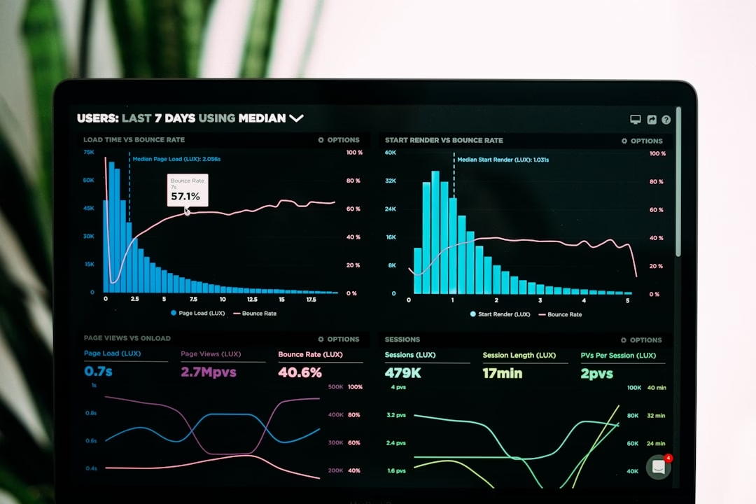
Organizations that figure out this integration first will have a significant competitive advantage over those still treating geospatial as a separate function.
Frequently Asked Questions
What is Geospatial Intelligence Valuable Across Industries?
Geospatial intelligence valuable across industries refers to location-based data and spatial analysis tools used to inform decision-making in diverse sectors — from retail and logistics to defense and climate planning. It combines satellite imagery, GPS data, mapping tools, and AI-driven analytics to understand geographic patterns, monitor assets, optimize resources, and predict future conditions. The technology has evolved from a niche surveying tool to a core business intelligence capability.
Why is Geospatial Intelligence Valuable Across More Industries Now than Before?
Three factors: cost, speed, and integration. Satellite launch costs have plummeted, making high-resolution Earth observation affordable. 5G and cloud computing have made real-time data processing practical. And AI now automates the tedious data-cleaning work that used to consume weeks. These shifts have made geospatial intelligence valuable across sectors that couldn't justify it five years ago — retail, insurance, agriculture, and urban planning included.
How is AI Changing Geospatial Intelligence Valuable Across Sectors?
AI is shifting geospatial intelligence valuable across from data acquisition to decision support. Machine learning now handles routine pattern detection, image classification, and data formatting automatically. This frees human analysts to focus on complex judgment calls and strategic interpretation. However, adoption remains slower than expected — only 39% of federal agencies expect full AI integration by 2026, despite 63% naming improved decision-making as a top benefit.
What's the Biggest Barrier to Geospatial Intelligence Valuable Across Enterprises?
Talent shortage and integration friction. The market is growing 12%+ annually, but scarce spatial-data expertise is suppressing growth by nearly 2 percentage points. Additionally, geospatial data often lives in isolated systems rather than flowing into operational decision platforms where it's most valuable. Organizations need both skilled people and better system architecture.
Which Industries are Adopting Geospatial Intelligence Valuable Across Fastest?
Transportation and logistics lead at 14.36% annual growth. Defense and government remain significant, but smart cities, agriculture, and infrastructure management are accelerating rapidly. Climate risk and sustainability applications are also surging — insurance companies and utilities especially are investing heavily to model climate resilience scenarios.
The Bottom Line: Geospatial Intelligence Isn't Optional Anymore
You can ignore geospatial intelligence for maybe another year. Maybe two. But not longer than that.
The market signals are clear. The technology works. The ROI is documented. And the organizations that figure out how to embed location intelligence into their operational decision-making — not as a separate GIS project, but as a core capability — are going to have a structural advantage over everyone else.
What actually matters: Start now. Not with a massive enterprise transformation. Start small. Pick one operational problem that location data could genuinely improve — supply chain visibility, site selection, climate risk, asset monitoring. Get a pilot working. Learn what the data actually tells you. Then scale.
The geospatial intelligence valuable across industries story isn't coming in 2027 or 2028. It's here now. The question is whether you're going to be ahead of it or chasing it.

